Wetland Delineation & Wetland Mitigation Banking in Wisconsin
Our Projects
We have conducted numerous wetland boundary delineations and permitting on project sites ranging from single landowner to commercial developments. The following photos show the wetland mitigation banks we have planned, designed, and established in Wisconsin. These activities have involved coordination and cooperation with WDNR, US ACOE, US F&WS, and US EPA.
Here are some examples of the types of clients’ projects we have worked on. Actual clients’ names and locations are confidential.
Private landowner building projects along stream corridors and lakes
Private landowners building sites or property access issues
Residential developments
Commercial developments or expansion projects
Wetland mitigation bank development
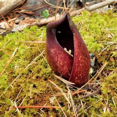
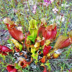
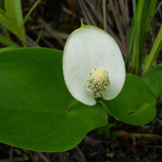
Identification of a calcareous fen, (ASNRI-Area of Special Natural Resource Interest) as a part of a wetland boundary delineation for a Sand Mine Company.
Sand Mine Companies building or expansion activities
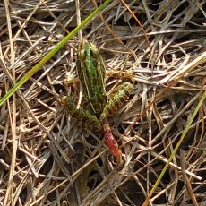
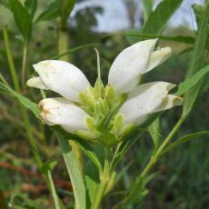
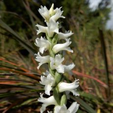
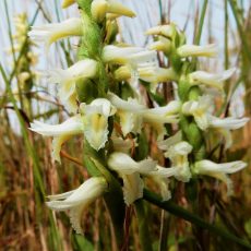
Federally Endangered Species populations surveys for US Fish & Wildlife Service in ND
Federally Endangered Species population surveys for WI DNR Natural Heritage Inventory Program
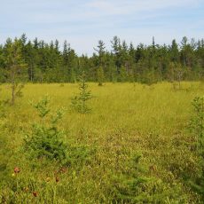
Johnson Conservancy Wetland Mitigation Bank (38.54 Acres)
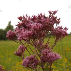
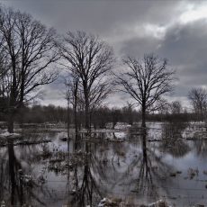
Located west of Avon, WI, in Rock County, WI. When this Bank is established, it will re-establish 2 wetland Communities within the 100-year floodplain by seeding target wetland plant communities, filling surface drainage ditches, and disrupting under ground tile system Construct is projected for 2023.
Council Creek Wetland Mitigation Property LLC
77.34 Acres
Located near Tomah, WI and selling wetland credits since 2018. Re-established or enhanced 5 wetland communities, including a Floodplain Forest, by filling surface drainage ditches and disrupting underground tile systems.
L. B. Palmer Family Wetland Mitigation Bank
40.38 Acres
Located near Darien, WI and selling wetland credits since 2018. Re-established or enhanced 3 wetland communities by disrupting underground tile system.
Kreyer Creek Wetland Mitigation Bank – East (159.31 Acres)
Kreyer Creek Wetland Mitigation Bank – West (67.02 Acres)
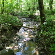
These two Mitigation Banks are located along the east and west sides of Kreyer Creek, near Tomah, WI. These Banks have been selling credits since 2016. Combined, these two Banks are re-establishing, enhancing, or preserving 6 wetland communities, by the disruption of underground tile systems and filling surface drainage ditches. Two of the more rare wetland communities being re-established and enhanced are the White Pine-Red Maple Swamp and the Hardwood Swamp. On the East Wetland Bank, 2 rare upland communities for threatened species were also established and enhanced.